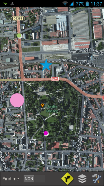
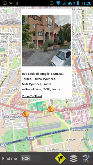
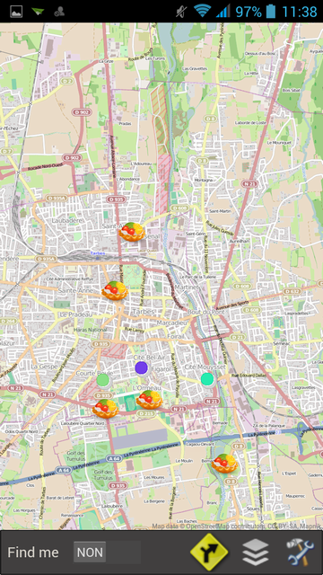
// "retina"
mode
map.ScaleFactor := 2.0
If you work in a doubled resolution, also double the size of the images of your markers and set their Scale property to 0 so that they are automatically updated in the correct scale.
map.ScaleFactor := 2.0;
marker := map.AddMarker(latitude,longitude);
marker.Filename := 'image-64x64.png';
marker.Scale := 0;
Firemonkey version allows you to activate the "High resolution" mode
map.HiRes := true;
For a better visibility of your maps it is preferable to use 512 x 512 tiles
map.HiRes := true;
map.TileServer := tsHereHybrid;
map.TileSize := 512;
If you have only 256 pixels tiles you can still force the size in 512 pixels, they will be automatically doubled, but the result is not optimal.
map.HiRes := true;
map.TileSize := 512;
map.TileServer := tsOSM;
If you keep tiles 256 pixels in high mode resolution your card will be finer but less readable.
The advantage is that a larger area will be visible.
map.HiRes := true;
map.TileSize := 256;
map.TileServer := tsOSM;
The markers without images, the TECShapePois defined in pixels, the InfoWindos and the layer Panoramio are automatically scaled.
The layer TECNativePlaceLayer has properties to suit the image resolution
For the Markers with image need to adapt the properties XAnchor, YAnchor , and Filename resolution (at least it takes double the size of the image in high resolution)

